WAEC Geography 2022 Theory — Question 19
Question 19 of 26 from the West African Examinations Council (WAEC) Geography 2022 Theory paper, with the correct answer and a full explanation.
Advertisement
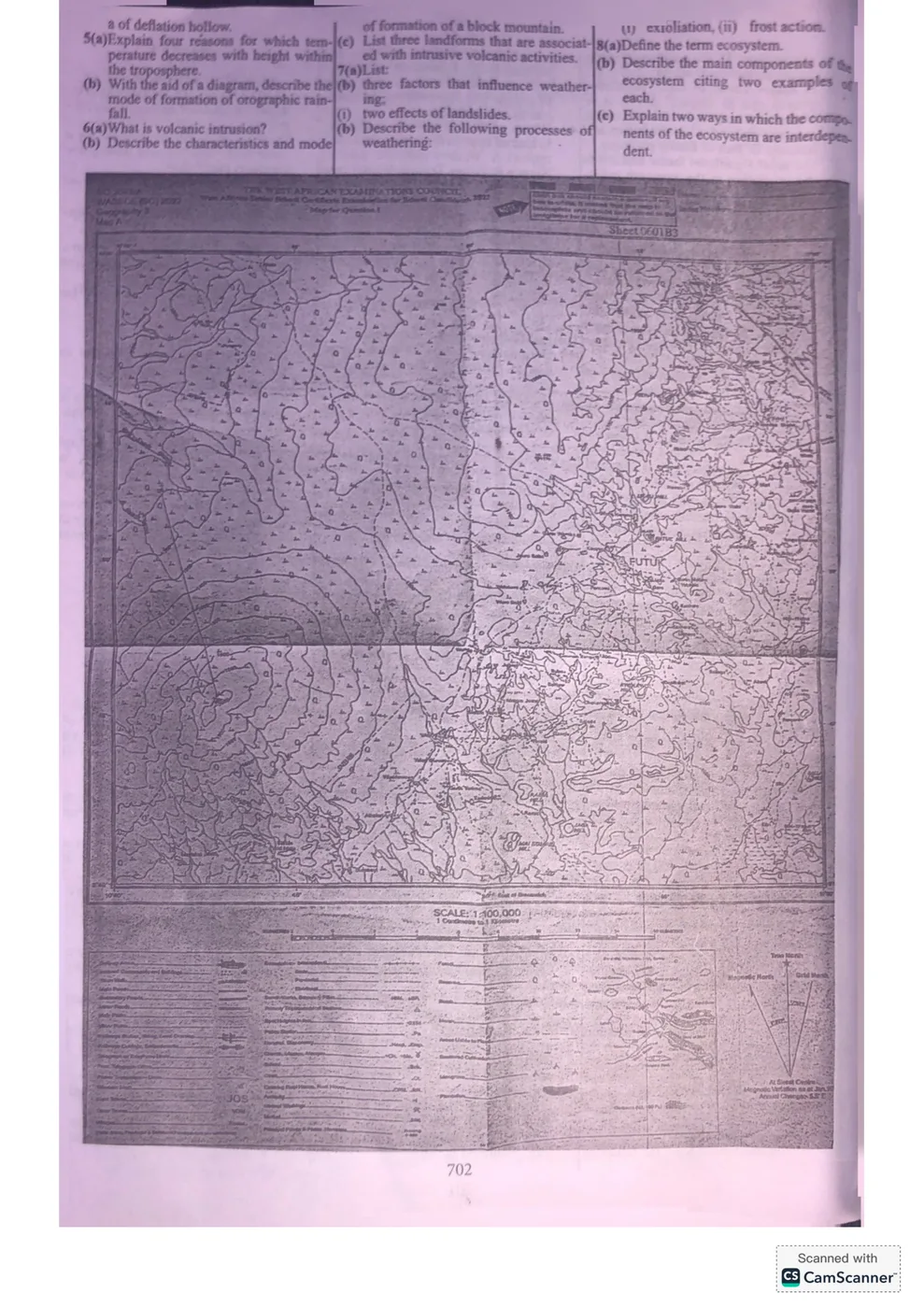
PAPER 3, Q1. Study the map extract provided on a scale of 1:100,000. (a) On the map extract, mark and name: (i) the 1460 Primary Trigonometrical Station (PTS); (ii) col (CL); (iii) gentle slope (GS); (iv) an area that rises above 1900 feet in the north (ARS); (v) a confluence in the northwest (CF). (b) Calculate the gradient along the line A to B (use the metric method of measurement). (c) Using evidence from the map, outline three reasons for which FUTUK is likely to be a more important settlement than Lungo.
Model answer
(a) See the map extract in the Diagram column — the five features should be marked directly at their respective locations on the map. (b) Gradient G = Δy/Δx = (y2−y1)/(x2−x1) = (11.7−0.0)/(2.9−0.0) ≈ 4.0 (using the metric method). (c) FUTUK is likely more important than Lungo because: it is the commercial centre of the mapped area (presence of a market); it is the educational centre (presence of a school); it is a fishing area, due to the presence of many rivers and a confluence nearby.
Advertisement
Sign up free to unlock
- Score tracking
- Practice history
- Saved questions
- Progress dashboard
- Personalized sessions
- Weak-topic breakdown
…and/or go further with premium services and No Ads.