WAEC Geography 2025 Theory — Question 9
Question 9 of 38 from the West African Examinations Council (WAEC) Geography 2025 Theory paper, with the correct answer and a full explanation.
Advertisement
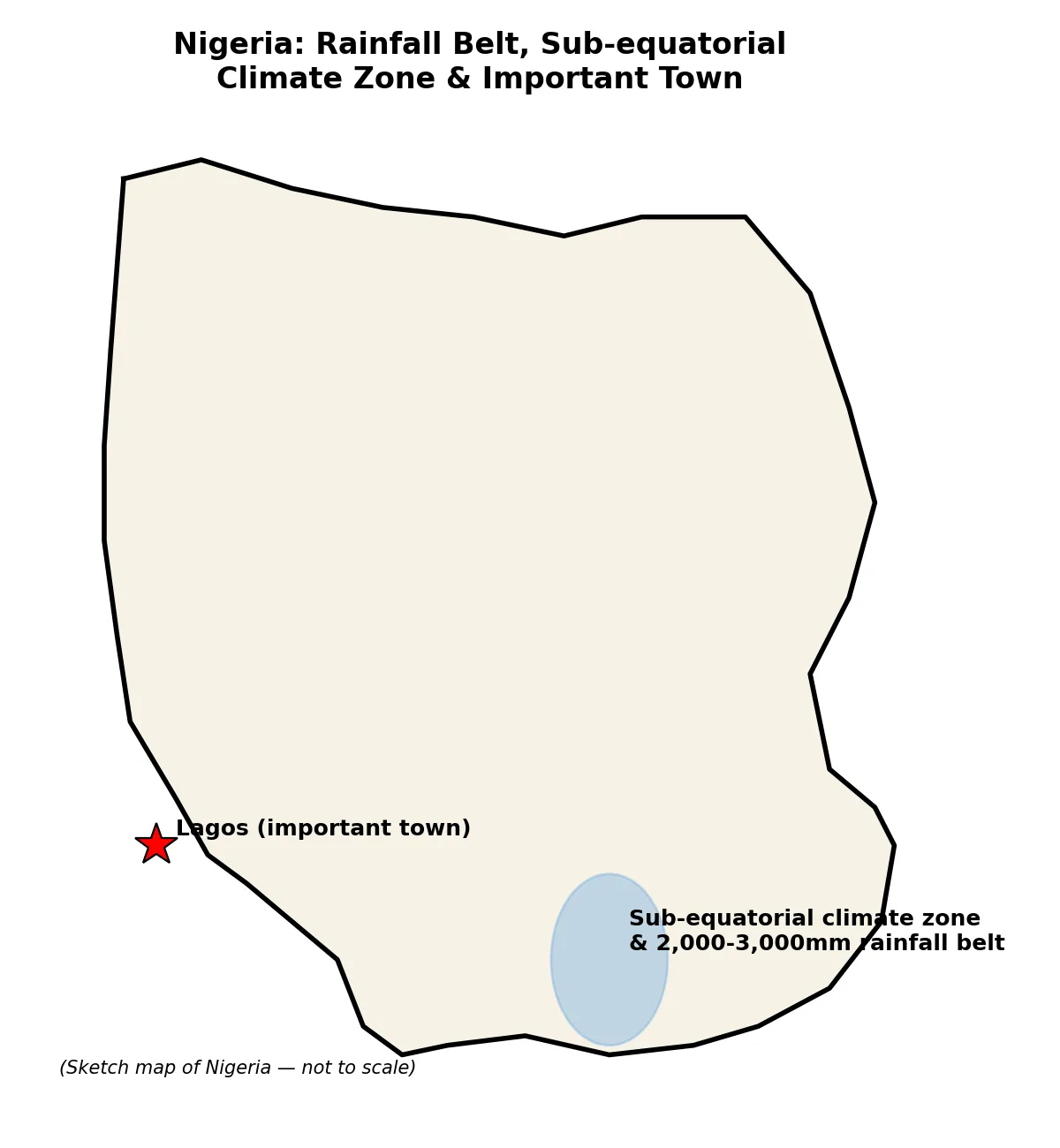
Paper 2, Section B 4(a): Draw an outline map of Nigeria. On the map, show and name: (i) one area that receives an annual rainfall of 2,000mm-3,000mm; (ii) one area noted for the Sub-equatorial climate; (iii) one important town in 4(a)ii.
Model answer
Outline map of Nigeria to show: (i) the southern coastal belt (e.g. Niger Delta area) as the zone receiving 2,000-3,000mm annual rainfall; (ii) Southern Nigeria (Sub-equatorial/Tropical Continental type region, e.g. around Lagos-Calabar belt) as the Sub-equatorial climate area; (iii) Lagos (or Port Harcourt/Calabar) marked as an important town in that area. [Diagram: outline map of Nigeria with rainfall belt, climate zone and town marked]
Advertisement
Sign up free to unlock
- Score tracking
- Practice history
- Saved questions
- Progress dashboard
- Personalized sessions
- Weak-topic breakdown
…and/or go further with premium services and No Ads.